The Transdanubian Range of Hills and the Mecsek Mountains
New words:
border - határol
originally - eredetileg
clay - agyag
cave - barlang
limestone - mészkő
rock - szikla
Click and learn the new words:
Klikkelj és olvass magyarul erről a tananyagról!

Read and learn the important facts.
This part of the country is bordered by the rivers Zala, Dráva, Sio Canal and Lake Balaton. This great area is divided into smaller parts: Zala Hills, Somogy Hills, Tolna Hills, Baranya Hills, Mecsek Mountains, Villányi Mountanins. This area was originally covered with pebbles, sand, clay and loess.
Zala Hills
Thiis region is covered with clay. The houses have been built on the top of the hills because in rainy seasons the amount of the rain is large and the area is muddy at this time. Göcsej is a very famous region of the area.
Somogy Hills
The southwestern part of Somogy Hills is the home of sand, but the eastern part is covered by loess. The Baranya and tolna HIlls are also covered by loess.
Mecsek Mountains
Its highest point is only 680 m, its name is Zengő. Caves formed in its limestone rocks, e.g. in Abaliget.
Villány Mountains
These mountains are also built up of limestone rocks. The highest point is the 442 m high Szársomlyó.
Climate
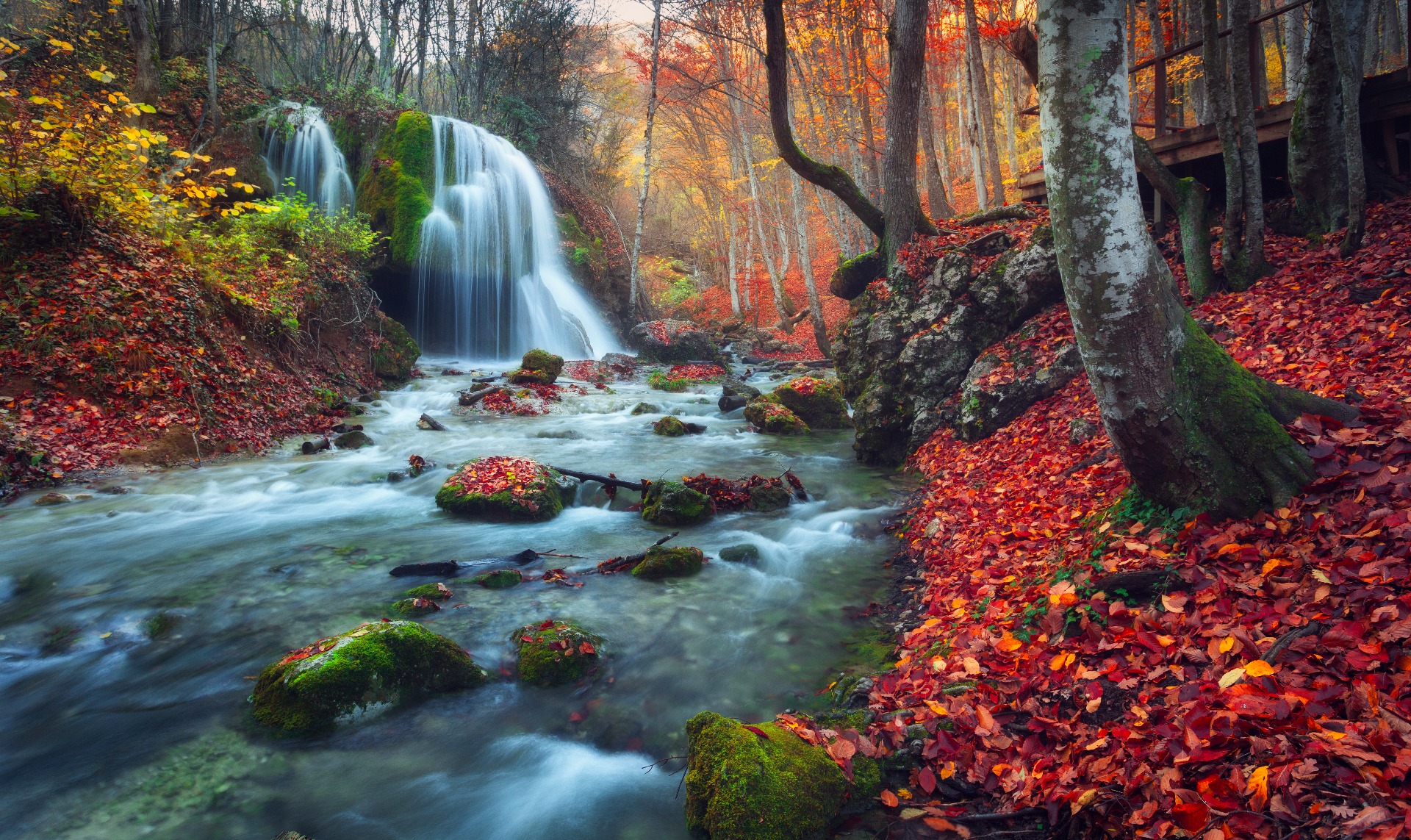
The western part of the Transdanubian Hills gets a great amount of rain all the year round, so there is less sunshine. The Zala Hills are the rainiest part of our country. The area has plenty of water and many streams and forests. The typical trees are beech, oak and pine. The eastern part of the Transdanubian Hills (Somogy, Tolna, Baranya Hills) gets less rain but more sunshine.
